
HHS and MSF Japan have jointly designed a drone (called Locus) that can map areas not previously explored to add to MissingMaps.org.
The 3D-printed UAV drone began life as a student project and now the people behind the project are looking to make a prototype so they can begin pitching the idea to organisations including humanitarian aid.
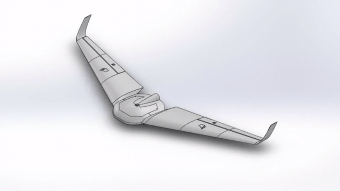
The lightweight drone has a unique design to make it perfect for gliding over hard to reach places.
Its battery can run for 90 minutes because of its 1.3kg frame and with a range of 8km sqm, it’s perfect for mapping small-ish areas rather than long distance surveying.
They want to make it as user friendly as possible, so anyone can use it, whether they have drone expertise or not. It’s completely open source, so developers can easily contribute to the community, whether they want to introduce new use cases for Locus or need help from others who have already created the apps to help it achieve a greater range of tasks.
It’s a multi-purpose drone and due to its open source nature, it will transform into whatever the user needs it to be.
Locus already reached its Kickstarter goal, but if you like this project you still have 7 days to support it.