- Building a 3D Digital Clock with ArduinoPosted 4 months ago
- Creating a controller for Minecraft with realistic body movements using ArduinoPosted 5 months ago
- Snowflake with ArduinoPosted 5 months ago
- Holographic Christmas TreePosted 6 months ago
- Segstick: Build Your Own Self-Balancing Vehicle in Just 2 Days with ArduinoPosted 6 months ago
- ZSWatch: An Open-Source Smartwatch Project Based on the Zephyr Operating SystemPosted 7 months ago
- What is IoT and which devices to usePosted 7 months ago
- Maker Faire Rome Unveils Thrilling “Padel Smash Future” Pavilion for Sports EnthusiastsPosted 8 months ago
- Make your curtains smartPosted 8 months ago
- Configuring an ESP8266 for Battery PowerPosted 8 months ago
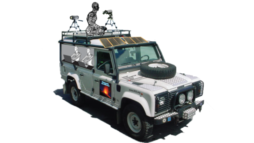
Trail by Fire: Advanced Volcanology with Open Source Drones

Yesterday we told about Erle Brain 2, the Linux open source drone controller. The board is on the UAV that the guys at Trail by Fire will use to monitor volcanoes on their mission!
15 Volcanoes. 6 Scientists. 1 Land Rover.
This is the Trail by Fire.
The atmosphere that allows our planet to sustain life formed from gases emitted by volcanoes early in Earth’s history. These volatile elements are constantly recycled back into the deep Earth at subduction zones, where tectonic plates sink into the mantle.
We are a team of early career volcanologists planning an ambitious expedition to the South American Andes, as proud recipients of the eighth annual bursary from Land Rover, in partnership with the Royal Geographical Society (with the Institute of British Geographers).
Our objective is to provide the first accurate and large-scale estimate of the flux of volatile species (H2O, H2, CO2, CO, SO2, H2S, HCl, HF, and more) emitted by volcanoes of the Nazca subduction zone. The journey will take us from the high peaks of Peru to the Southern tip of Chile, traveling on some of the Earth’s highest roads, and climbing some of the Earth’s tallest volcanoes.
Follow the mission and contribute here: Trail by Fire

Related Posts


-
 Arduino ISP (In System Programming) and stand-alone circuits
We use an Arduino to program other ATmega without...
- Posted 12 years ago
-
-
-
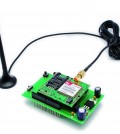
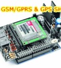 GSM GPS shield for Arduino
Shield for Arduino designed and based on the module...
- Posted 12 years ago
-
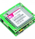
 Small Breakout for SIM900 GSM Module
Some post ago we presented a PCB to mount...
- Posted 13 years ago
-
 Join Maker Faire Rome 2024: Innovation Unleashed at Gazometro Ostiense | Calls Now Open!
All Calls Now Open for Maker Faire Rome 2024...
- Posted 2 weeks ago
-
 Building a 3D Digital Clock with Arduino
Project to create a digital clock consisting...
- Posted 4 months ago
-
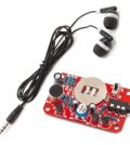 Acoustic amplifier – in DIY Kit
This kit creates a microphone amplifier with an output...
- Posted 5 months ago
-
 Creating a controller for Minecraft with realistic body movements using Arduino
Project of a controller that maps body movements...
- Posted 5 months ago
-