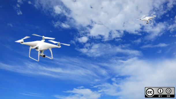
Over the past few years, interest in both civilian and commercial use of drones has continued to grow rapidly, and drone hardware sits at the top of many people’s holiday wish lists.
Here are the top 4 open source drone project selected by Opensource.com:
Paparazzi UAV
Paparazzi UAV is a project that combines both the software and hardware needed to build and fly an open source vehicle, released under open licenses. Its primary focus is autonomous flight, and is designed to be portable to allow operators to take their devices into the field easily and program their flights across a series of waypoints. Source and releases to the software components can be found on GitHub, and tutorials for adapting it to off-the-shelf or custom-built hardware can be found on the project’s wiki.
Dronecode / PX4
The Dronecode project is a Linux Foundation-sponsored project working to build a common open source platform for UAV development. We’ve covered the project before in further depth, but they continue to host a number of different developer resources, including GitHub repositories of several useful tools. A split in the project earlier this year brought several of the supporting companies and developers from Dronecode to a new project called PX4, which provides updated versions of many of the same resources under active development.
OpenDroneMap
OpenDroneMap takes this aerial imagery and helps you to process it into point clouds, digital surface and elevation models, or just orthorectify the imagery (in essence, line up the imagery to a known coordinate system for further analysis).
Grab the source or a beta release on GitHub under a GPL license, as well as a sample data set, and see whether it’s a good fit for you; the project’s wiki has more information.
Drone Journalism Lab operations manual
The Drone Journalism Lab at the University of Nebraska-Lincoln exists to educate journalists about how drones can be used legally and ethically as a part of the journalistic process. To further that goal, they have open sourced their operations manual, available on GitHub, under a Creative Commons license to bring best practices to any news organization hoping to use a drone further their reporting capabilities.
Source: Opensource.com

And nothing about http://ardupilot.org/ ? Seriously ?