Command centers need to know where their people are and where danger exists and may be approaching them. This system tracks fire boundaries & fire hotspots and firefighters or other persons on-the-ground and relays this data back to command centers where it is mapped in real time.
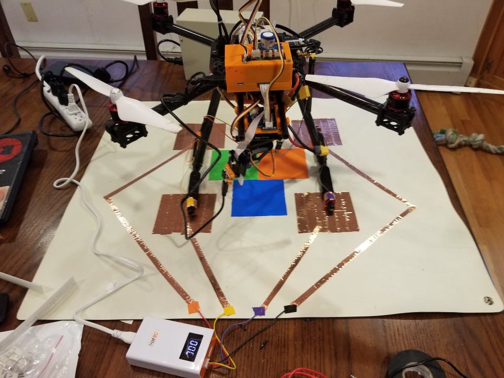
The drone roams via a planned route above a fire zone recognizing personnel, hotspots and fire movement using an on-board IR camera, HD camera, and local AI processing unit via an on-board Google AI Tensorflow Processing Unit (TPU) chip.
Both on-ground firefighters & remote CCC personnel can stream the HD+IR video stream to see a live overhead view of the situation in real time.
The drone has on-board sensors whose data is mapped in real time covering carbon dioxide, oxygen, temperature, humidity, barometric pressure, and light lux levels. CCC personnel can check to see if gas levels rise above safe maximums or minimums so they can inform ground personnel to unseen dangers not revealed by the IR+HD camera streams.

[…] Source link […]